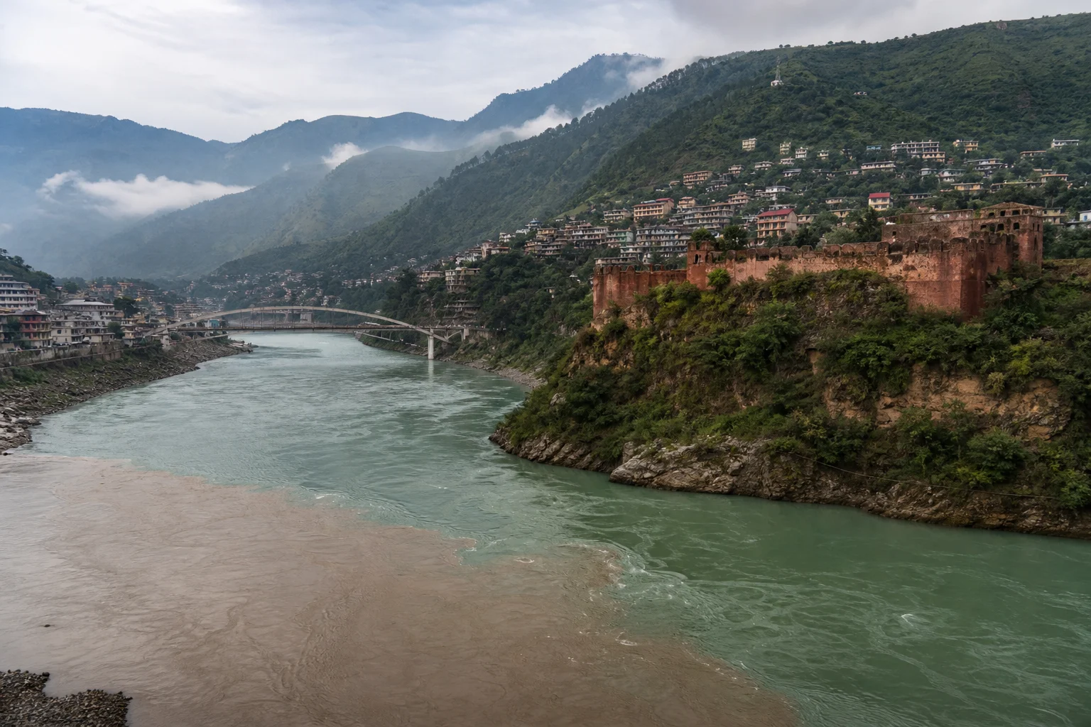
Muzaffarabad announces itself through movement. The road drops through folded green hills, the sound of water grows closer, and then the city appears in a valley of slopes, bridges and closely gathered neighbourhoods. Here, the Neelum River arrives from the north and meets the Jhelum at Domel, creating a landscape that is both dramatic and practical: a place where rivers have shaped routes, settlement, trade and memory.
As the administrative capital of Azad Jammu and Kashmir, Muzaffarabad has an energy distinct from the quieter villages and high-valley resorts for which the region is often known. It is a working city as well as a stopping point—full of students, shopkeepers, families, public offices, transport stands and travellers beginning journeys into the Neelum and Jhelum valleys. To understand it only as a base for elsewhere is to miss its essential appeal. Muzaffarabad is a mountain city with a riverine heart, where geography has never been scenery alone.
The city at the confluence
Domel, the meeting place of the Neelum and Jhelum, is the clearest introduction to Muzaffarabad. The rivers retain distinct moods as they approach one another: the Neelum comes down from its long mountain valley, while the Jhelum carries water from the east and turns westward through the hills. Their union gives the city its visual logic. Roads follow the water; bridges stitch banks together; older buildings and newer concrete neighbourhoods rise up the slopes that contain the valley.
This setting asks for a different pace of travel. Rather than treating the rivers as a backdrop for a quick photograph, spend time looking at how the city lives with them. Watch schoolchildren crossing bridges, observe the changing colour of the water after rain, or take an early walk when the hills are still partly veiled in mist. In the evening, lights scattered across the slopes make clear how limited and valuable level ground is in this terrain.
Muzaffarabad is also a useful reminder that mountain cities are not static. Rivers swell and recede with seasons; rain can alter roads and slopes; and construction continually negotiates the contours of the valley. Visitors should be attentive to local advice, particularly during wet weather, and should check road and weather conditions before heading into surrounding valleys.
Red Fort: a stronghold above the Neelum
The most visible historic landmark is Red Fort, also known locally as Rutta Qila. Its location on the western bank of the Neelum River explains much about its purpose. The fort occupies a naturally strategic position, with the river protecting it on several sides and the surrounding heights opening views across the valley.
Its story is layered. Construction began under the Chak rulers of Kashmir in 1559, at a time when the region’s hill routes and river crossings carried military significance. The fort was later completed in 1646 during the rule of Sultan Muzaffar Khan, the Bomba chief traditionally recognised as the founder and namesake of Muzaffarabad. The city’s historical identity is therefore embedded in this defensive architecture: its name, location and earliest political importance are closely connected.
Red Fort is not a polished palace monument, and it is better appreciated for that reason. Its terraces, gateways and defensive walls reveal a structure made for watchfulness rather than ceremony. Stone, brick, elevation and access to water were part of its design. From its grounds, the Neelum is not simply picturesque; it is an element of the fort’s original strategic setting.
The fort also bears the marks of more recent history. The devastating earthquake of October 8, 2005, caused severe damage across the Muzaffarabad area, including to historic structures. To visit Red Fort with care is to see more than an early-modern remnant: it is also to recognise the vulnerability of built heritage in a powerful mountain landscape. Keep to designated paths, avoid climbing on fragile masonry, and remember that the value of such places lies as much in their survival as in their appearance.
Domel and the quieter language of stone
Near the confluence, the Ranbir Singh Baradari offers a smaller but revealing encounter with Muzaffarabad’s built heritage. The riverside pavilion is associated with the Dogra period and is known for its stone steps, carved decorative elements and its relationship to the bridge and water below. Its architectural details—floral scrolls, geometric designs, niches and dressed stone—offer a contrast to the muscular defensiveness of Red Fort.
These two sites make a useful pair. One speaks of protection, surveillance and contested routes; the other of civic presence and ornament beside a major river crossing. Together, they show that Muzaffarabad’s history cannot be reduced to a single dynasty or episode. The city has long been shaped by successive administrations, mountain communities, commerce and the demands of travel through difficult country.
When visiting heritage sites, modest dress, quiet conduct and a willingness to follow local restrictions are simple forms of respect. Historic spaces in living cities are not stage sets. They belong to the communities around them and require patient conservation.
A city rebuilt, a landscape remembered
The 2005 earthquake remains central to any honest understanding of Muzaffarabad. The magnitude 7.6 earthquake struck on October 8, 2005, with its epicentral area close to the city. Losses across the region were immense, and Muzaffarabad was among the places most severely affected. Buildings collapsed, hillsides failed and families faced a catastrophe that changed both the physical city and the lives within it.
Nearly every visitor will notice that Muzaffarabad is a place of rebuilding: in newer structures, repaired roads, altered skylines and the determination of daily life continuing around them. This is not a story to be consumed as spectacle. It is part of the city’s living memory. Speak with sensitivity if the subject arises, avoid intrusive questions or photography, and allow the city to be more than its disaster. Muzaffarabad is also defined by endurance, hospitality, education, work and an ongoing relationship with its rivers and hills.
Markets, meals and the mountain crossroads
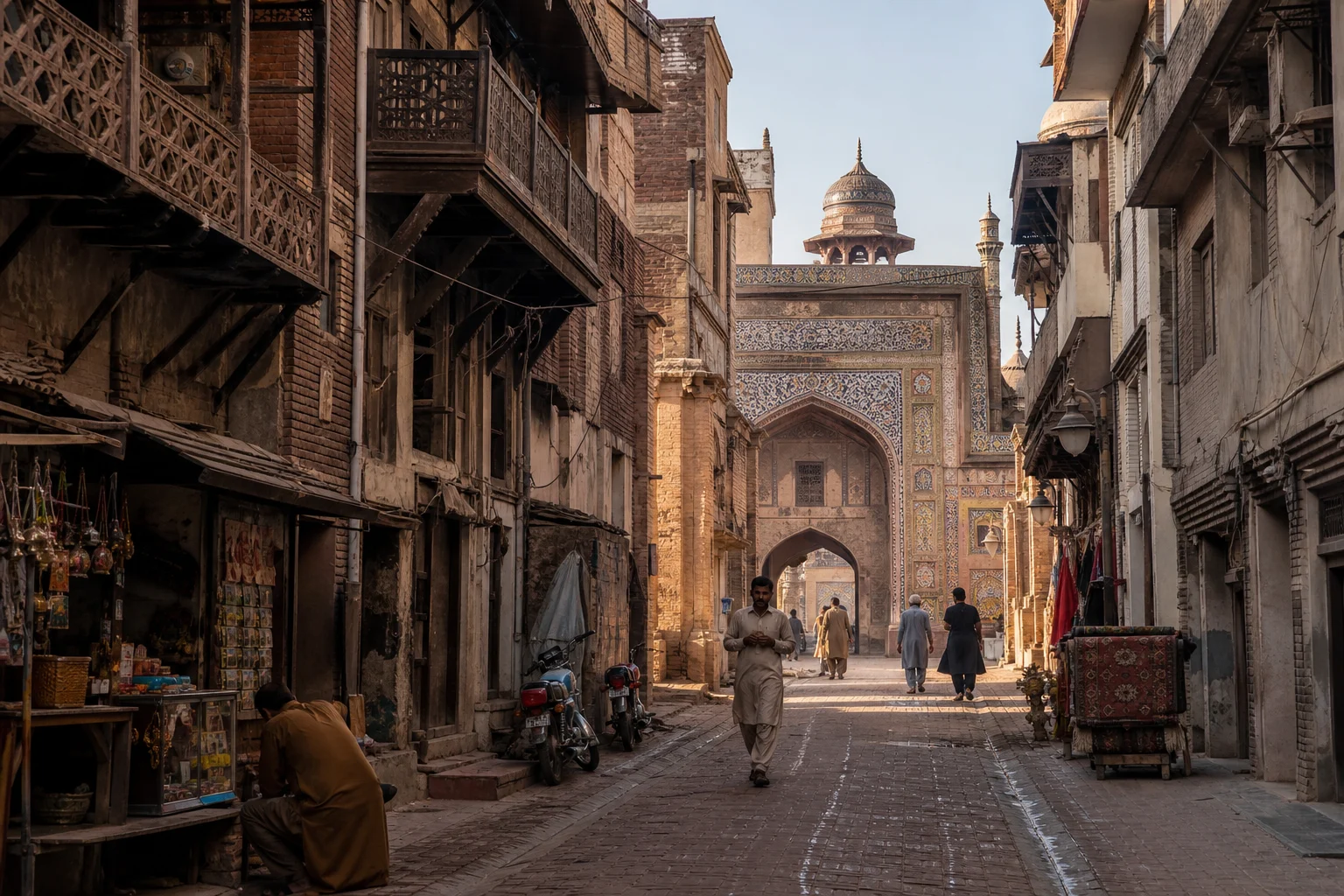
The texture of Muzaffarabad is found in ordinary urban life. Its markets are places to notice the practical economy of a mountain capital: produce coming in from surrounding settlements, dry goods and household supplies, fabric shops, tailors, bakeries, small restaurants and transport-linked businesses. The city is connected to routes leading into the Neelum Valley, the Jhelum Valley and onward towards the plains, so its streets carry a mixture of local routines and passing travellers.
For food, seek out the unpretentious pleasures of a busy bazaar rather than chasing a single “signature dish.” Fresh flatbreads, karhi, lentils, grilled meat, rice dishes, seasonal vegetables and sweet tea belong to the familiar vocabulary of everyday meals. In cooler weather, a long pause over tea can be one of the best ways to take the measure of the city. Ask what is made fresh that day, choose busy family-run establishments, and be patient with a meal prepared to order.
Muzaffarabad also belongs to a wider Kashmiri cultural region whose craft traditions include shawl weaving, carpet work, chain-stitch embroidery, wood carving and woven woollen textiles. Visitors interested in handicrafts should ask about the maker, materials and place of production rather than assuming every decorative item is locally handmade. Buying directly from craftspeople or established local outlets, when possible, gives greater value to the work behind an object.
Looking outward: hills, shrines and valley roads
Muzaffarabad rewards those who first understand the city, then look beyond it. Pir Chinasi, high above the urban valley, is associated with a shrine and is valued for its expansive mountain views. It is a place where pilgrimage, local custom and landscape meet, so visitors should dress respectfully and behave with particular consideration around religious spaces.
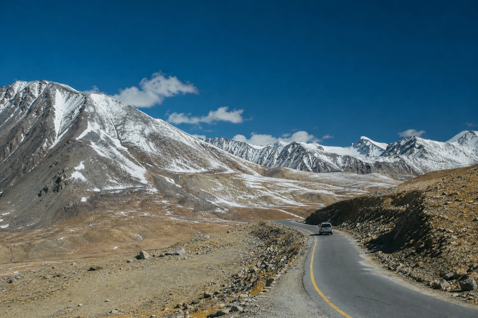
The city is also the natural launching point for the Neelum Valley to the north and northeast, and for journeys along the Jhelum Valley. These are not merely scenic extensions of an itinerary; they are inhabited mountain corridors with their own towns, villages, languages, agricultural cycles and memories. Travel slowly when possible. Do not litter at riverbanks or viewpoints, keep noise low near homes and shrines, and avoid treating roadside communities as scenery.
Road travel in the mountains depends on conditions that can change quickly with rain, snowfall, landslides or repair work. Before leaving Muzaffarabad, confirm the practical details locally and leave time for delays. The best mountain journeys are rarely the fastest ones.
How to spend a thoughtful day
Begin at Domel, preferably in the soft light of morning, to understand the meeting of the rivers before traffic and daily errands gather pace. Continue to Red Fort, allowing enough time to read the terrain from its terraces and to consider why a fort was built here. Later, explore the central market streets on foot, stopping for tea and a simple lunch. If access and local conditions permit, visit the Baradari or take a short drive to a viewpoint above the city toward evening.
This sequence is deliberately modest. Muzaffarabad does not need to be rushed into a collection of viewpoints. Its enduring interest lies in the relationship between natural forces and human settlement: water shaping a city, stone holding a defensive line, bridges making connection possible, and people remaking ordinary life in a landscape of formidable beauty.
More than a gateway
Muzaffarabad is often introduced as the road to somewhere else. Yet its true distinction is that it gathers so many of northern Pakistan’s defining themes in one compact valley: rivers and ridgelines, layered Kashmiri history, working markets, vulnerable heritage, pilgrimage routes and the resilience required to build a city among mountains.
Stay long enough to watch the Neelum meet the Jhelum. Look beyond the grand view to the bridges, terraces, stairways, workshops and homes that make the view a lived place. In Muzaffarabad, history does not sit behind a museum rope. It runs beside the road, rises from the fort wall and moves onward with the river.