Nanga Parbat is a mountain of scale, but not of emptiness. At 8,126 metres, it is Pakistan’s second-highest peak and the ninth-highest mountain on Earth. It stands at the western edge of the Himalaya, above the deep corridor of the Indus River and within a region where cultivated terraces, conifer slopes, glacial streams and high pastures lie startlingly close together.
For climbers, its name has long suggested exposure and danger. For people living in its surrounding valleys, however, the mountain is also a presence measured through water, weather, grazing ground, roads, orchards and the changing colour of snow. To understand Nanga Parbat is to look beyond the summit. Its true story spreads outward through Diamer, Raikot, Rupal and Astore: through the routes people take, the languages they speak, and the practical knowledge required to live beside one of the world’s great mountain massifs.
A mountain at the edge of the Himalaya
The name Nanga Parbat is commonly translated as “Naked Mountain,” an apt description of a peak whose enormous walls can appear stripped to rock beneath their snowfields. Locally, it is widely known as Diamer, or Deomir, a name that carries its own authority in the valleys below. The two names point to different ways of seeing the same mountain: one shaped by the vocabulary of maps and mountaineering, the other rooted in local geography.
Nanga Parbat rises where several immense landscapes meet. To its north, the Indus makes its way through a gorge of exceptional depth, while the mountain’s flanks extend southward towards the Rupal and Astore valleys. The massif is separated from the Karakoram by the Indus, yet it belongs to the western Himalayan system. Its dramatic local relief is among its defining qualities: within a comparatively short distance, the land rises from river valleys and settled slopes to icebound ridges far above the limit of permanent habitation.
The mountain is not a single symmetrical pyramid. It is an extensive complex of ridges, glaciers, subsidiary summits and steep faces. The Diamir Face lies to the west and northwest; the Rakhiot side turns towards the north; and the Rupal Face dominates the south and southeast. The long Mazeno Ridge reaches away from the massif, giving the mountain a breadth that photographs can rarely convey. From different valleys, Nanga Parbat seems to become a different mountain altogether.
Walls of rock, snow and ice
The Rupal Face is the most celebrated of Nanga Parbat’s great walls. Rising by roughly 4,600 metres from its base to the summit, it is often described as the largest mountain face on Earth. That description is best understood not as a contest of measurements, but as an expression of its visual force. From the Rupal Valley, the face appears less like a distant peak than a vertical weather system: rock bands, hanging glaciers, avalanche paths and high snow slopes arranged on an almost incomprehensible scale.
On the Diamir side, the character is different but no less imposing. Here, the mountain is approached through forest, meadow and moraine before the terrain gives way to the steep, glaciated architecture of the upper massif. The Rakhiot side presents broad views across the northern flanks, while the Indus valley below offers an abrupt counterpoint: dry slopes and river-cut stone beneath one of the most heavily glaciated mountains in the region.
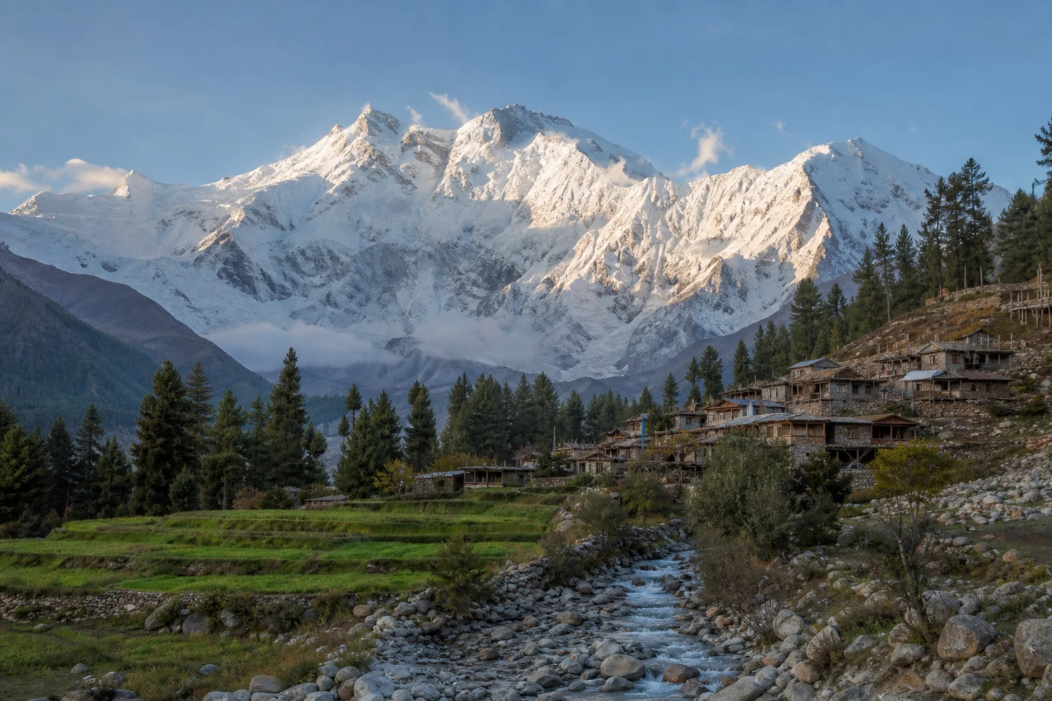
This contrast is central to the landscape around Nanga Parbat. In a single journey, a traveller may pass through dry, sun-baked terrain, fields sustained by irrigation channels, stands of pine and fir, alpine grassland and, finally, the cold debris of glaciers. Elevation changes not only temperature but also the rhythm of life. Crops, trees, livestock movements and building materials all respond to the possibilities and limits of altitude.
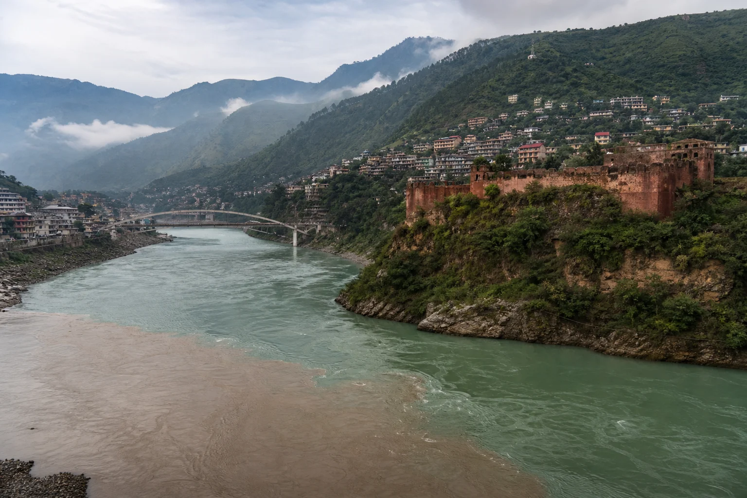
Water links these zones. Snow and ice stored high on the massif feed streams that descend towards settlements and the Indus system. In mountain valleys, water is never merely scenery. Its distribution, timing and maintenance shape cultivation, household work and relations between neighbouring fields. Channels need care; slopes can shift; and a sudden storm or avalanche can alter routes that had seemed familiar only days earlier.
Valleys where the mountain is lived
The communities around Nanga Parbat are not one uniform “mountain people.” They belong to distinct valleys with their own histories, kinship networks and local patterns of work. Diamer District, on the northern and western side of the massif, is strongly associated with the Shina language, while the wider region includes a rich meeting of languages and cultural traditions. A respectful visitor should resist the temptation to treat the area as a backdrop for one famous peak.
In and around the valleys of Diamer, Raikot and Astore, everyday life has long combined small-scale agriculture with livestock keeping, trade and seasonal movement. Fields are often limited by steep terrain, so cultivable land is used carefully. Grain and fodder crops, fruit trees and kitchen gardens may occupy narrow shelves above streams, while goats, sheep and cattle connect households to grazing lands beyond the village.
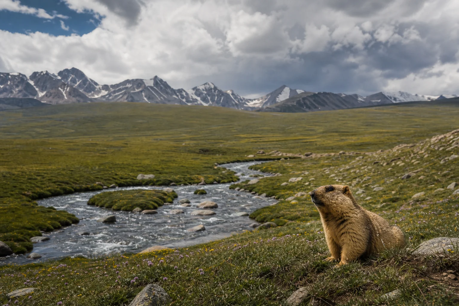
Seasonal pastures are especially important in understanding the mountain’s human geography. As conditions allow, herding families and livestock move between lower settlements and higher grazing grounds. These movements are not simply picturesque remnants of an older world; they are working responses to landscape, temperature and forage. Pastures, forests and watercourses are shared resources whose use depends on local knowledge and collective restraint.
Forests are part of this same economy. The dry temperate woodlands of Diamer include valuable conifers, and forest products have supported household life as fuel, fodder and seasonal income. They are also vulnerable. Pressure from extraction, grazing, fire and development can be difficult to manage in terrain where alternatives are limited. The future of these valleys depends not on separating people from nature, but on supporting ways of living that recognise their interdependence.
Routes older than the climbing stories
Nanga Parbat became internationally famous through mountaineering, particularly after Austrian climber Hermann Buhl made the first recorded ascent on 3 July 1953. His climb, achieved via the Rakhiot side during a German-Austrian expedition, became one of the defining stories of twentieth-century Himalayan climbing. Later expeditions added further chapters, including major ascents on the Rupal and Diamir sides.
Yet the mountain was never discovered by climbers. Long before expeditions arrived with tents, equipment and international press attention, the valleys around it were connected by tracks used for travel, grazing, local exchange and access to higher ground. The Indus corridor itself has been a route of movement for centuries. Near Chilas and elsewhere in Diamer, rock carvings and inscriptions testify to the region’s long history as a passage through the high mountains. They are reminders that this was not an isolated wilderness, but a landscape crossed, marked and remembered by many travellers.
Mountaineering remains part of the region’s modern identity, but it should be understood as a collaborative undertaking. Local guides, drivers, cooks, porters, horse owners and camp workers make journeys possible through knowledge of trails, weather, supplies and terrain. Their work is essential, whether the destination is a high-altitude base camp, a meadow below the massif or a village reached by an unpaved track. The mountain’s celebrated ascents form only one strand in a wider human story of skill and labour.
Tourism beyond the viewpoint
The northern view of Nanga Parbat has made the surrounding meadows and forests famous among Pakistani and international travellers. That visibility can bring income to local households through lodging, transport, guiding, food and seasonal work. It can also place strain on fragile trails, water sources and waste systems. The challenge is not whether people should come, but how they should come.
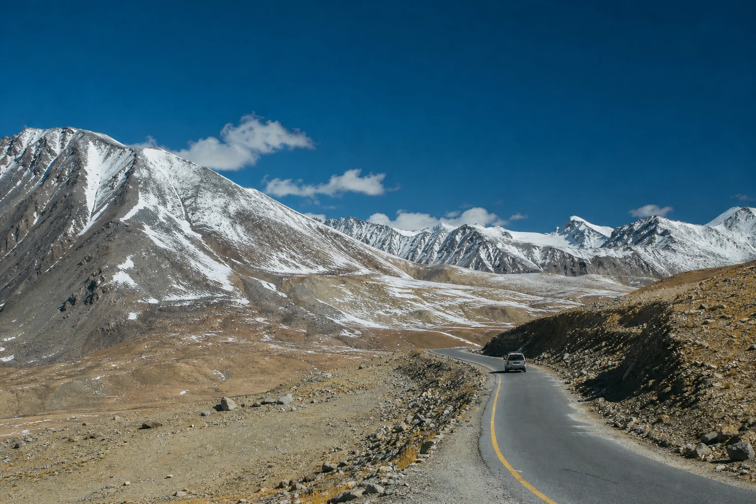
A meaningful visit begins with patience. Travel in these valleys can depend on road conditions, weather and local advice; plans should leave room for change. Hiring local services fairly, listening to hosts, dressing with awareness of village norms and asking permission before photographing people or private spaces are simple forms of respect. So is carrying out rubbish, reducing single-use packaging and avoiding damage to grazing land, streams and forest edges.
Visitors should also remember that a meadow beneath Nanga Parbat may be a place of livelihood as well as leisure: a route for animals, a source of grass, or a seasonal workplace. A camping ground is never simply empty because it looks empty to an outsider. The most responsible travellers are those who understand that the mountain’s beauty depends on the communities who live with its demands throughout the year.
A more complete view of Diamer
Nanga Parbat is sometimes reduced to superlatives: ninth highest, enormous face, difficult ascent, dangerous mountain. Each phrase contains a measure of truth, but none is sufficient. The massif is also a watershed, a landmark, a source of seasonal work, a horizon for villages and a powerful example of how human life adapts to altitude.
Its surrounding landscape asks for a slower kind of attention. Look at the irrigation channels drawn across a slope. Notice the terraces where a small patch of level ground has been made productive. See how a footpath crosses a hillside that appears, from afar, impossible to traverse. Listen for Shina in the markets and villages of Diamer, and recognise that the great mountain has many names, many approaches and many meanings.
To stand beneath Nanga Parbat is to encounter grandeur, certainly. But it is also to encounter a lived geography: one in which snowfields and shepherds’ paths, forest resources and rock inscriptions, family farms and expedition routes all belong to the same vast mountain world.