There are valleys that are admired from a distance, and valleys that ask to be read slowly. Swat belongs to the second kind. Its beauty is immediate: the swift blue-green current of the Swat River, slopes thick with conifers, orchards and cultivated terraces, and higher ridges that hold snow long after spring has reached the towns below. But the landscape is not merely a backdrop. Water has shaped its fields, routes and settlements; mountains have sheltered communities with distinct languages and traditions; and the valley floor preserves traces of religious, artistic and urban worlds that once connected this corner of present-day Pakistan to a much larger Asian story.
To travel through Swat well is to resist treating it as a single scenic corridor. It is a series of changing valleys. The lower reaches broaden into productive plains and busy towns. Farther north, the road follows a tighter river course through places such as Bahrain and Madyan, where the water becomes a constant companion. Beyond Kalam, tributary valleys rise towards alpine meadows, lakes and passes. Southward, near Mingora and Saidu Sharif, the same landscape reveals another register altogether: stupas, monastic precincts, ancient settlements and museum collections that give Swat an exceptional place in the archaeology of Gandhara.
A River That Organises the Valley
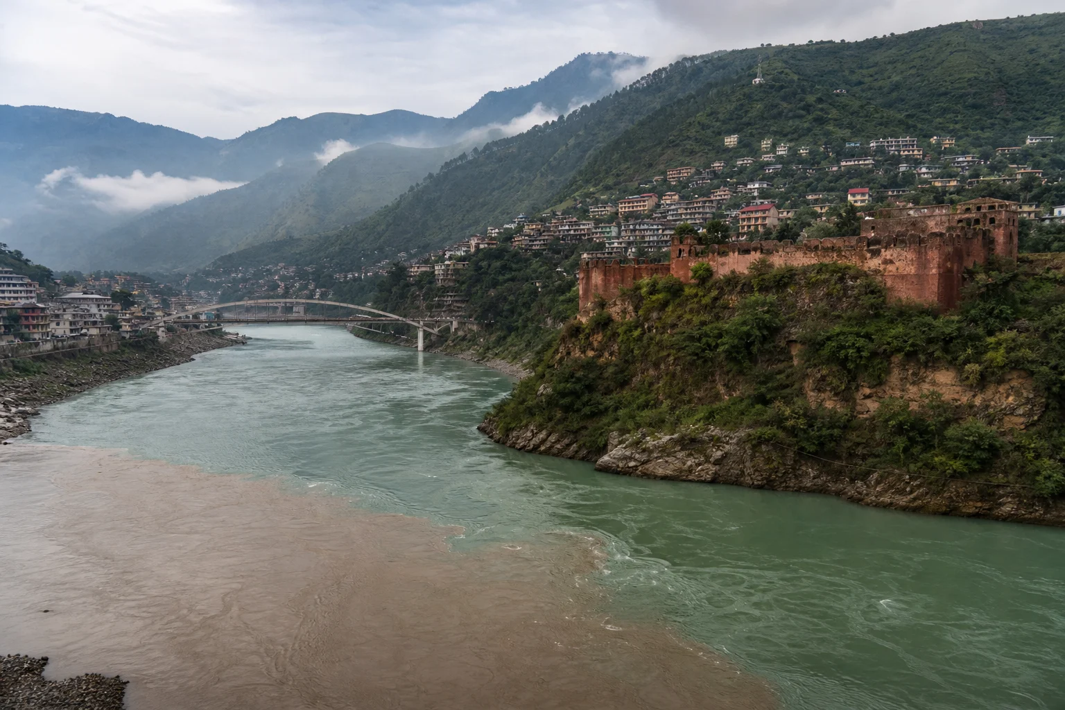
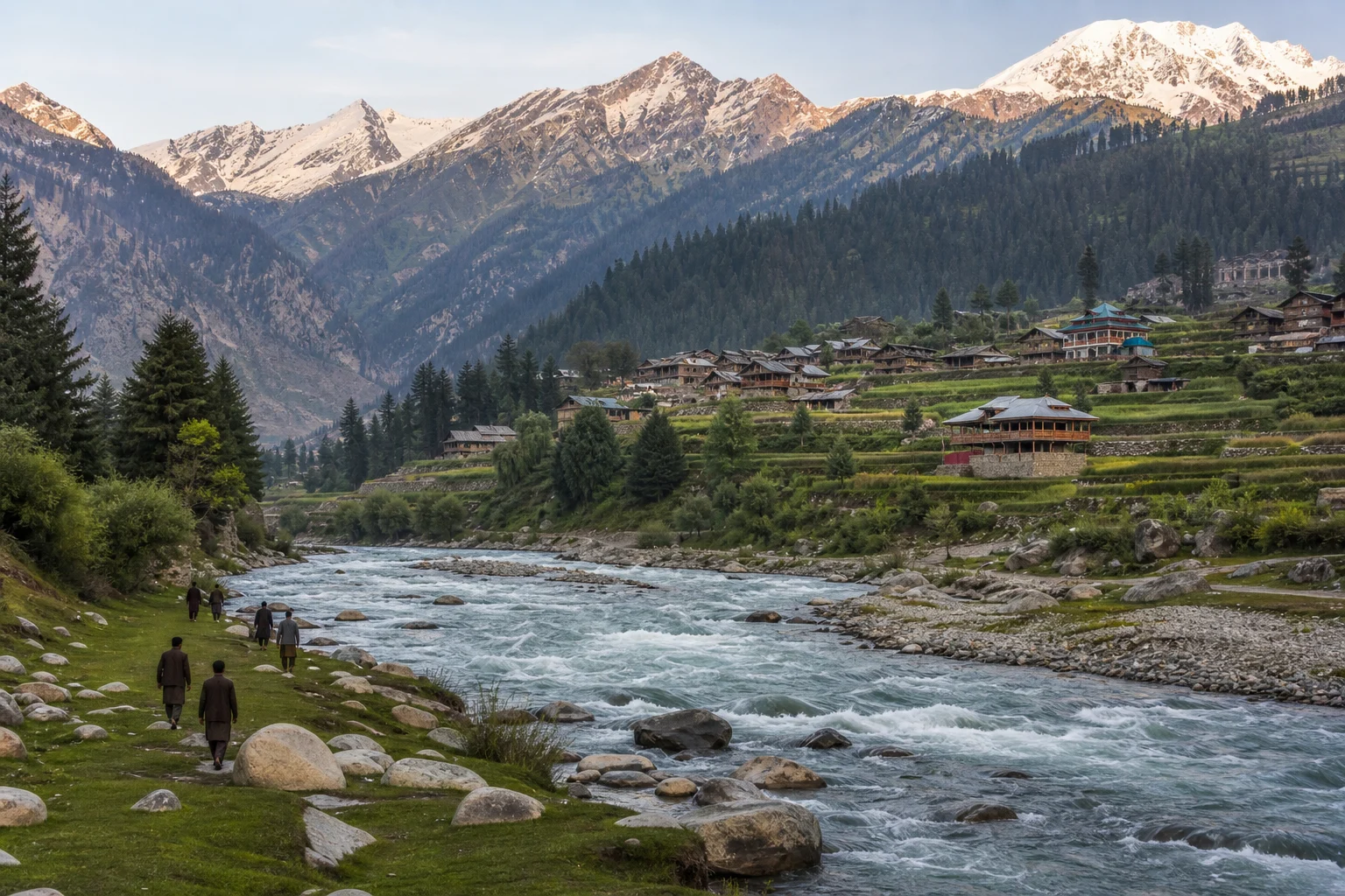
The Swat River begins at Kalam, where the Ushu and Utror river systems meet after descending from the high mountain country of Swat Kohistan. Fed by snow and glacier melt, it travels south through the valley before eventually joining the Kabul River. This course is more than a geographical fact. It explains the pattern of life around it: narrow strips of cultivation beside fast water, villages gathered where a side valley opens, bridges as points of exchange, and roads that repeatedly negotiate the river’s edge.
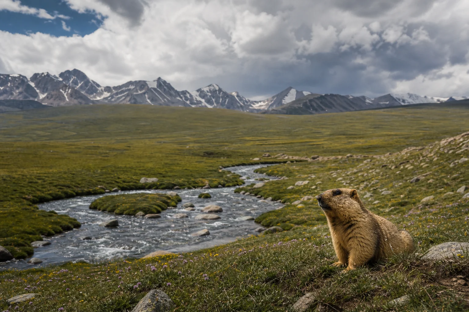
In the upper valley, the river is energetic and cold, shouldering through boulders beneath steep slopes. Around Kalam, Ushu and Utror lead towards landscapes of forest, pasture and high-altitude lakes. Mahodand, Kundol and other lakes of the upper valleys have become familiar names to Pakistani travellers, but their meaning is greater than a photograph: they are part of a mountain watershed in which seasonal snow, streams, grazing grounds and forests are closely connected. The weather can change quickly, roads may be affected by rain or snow, and access to higher routes is never something to assume. Visitors should check local conditions, travel with suitable preparation and treat the mountain environment as a working homeland rather than an empty playground.
Lower down, the river begins to feel less like a distant alpine force and more like the valley’s organising presence. Its waters support agriculture, while tributary streams bring the sound of the mountains into villages and market towns. Swat’s orchards, fields and poplar-lined lanes are reminders that an apparently dramatic landscape is also intensely cultivated. The most meaningful journeys leave time for this ordinary, lived texture: people carrying produce to market, tea served beside a roadside stop, schoolchildren crossing bridges, and households whose routines are paced by weather and water.
Kalam and the High Country of Swat Kohistan
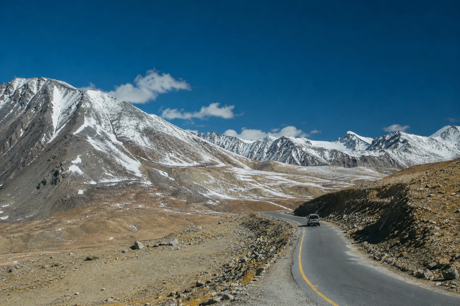
Kalam is often described as the threshold to upper Swat, and that is useful so long as it is not mistaken for an endpoint. Here the valley opens at the meeting of rivers, while the surrounding mountains point towards Ushu, Utror, Gabral and other high valleys. In summer, the contrast between dark forest, open grassland and pale rock can be striking; in colder months, snow redraws the terrain and can make movement more difficult. The appeal is not simply alpine scale, but the sense of a landscape in which settlement and wilderness remain closely interwoven.
The cultural geography of upper Swat deserves the same attention as its scenery. Pashto is widely heard across the broader valley, while the uplands are also home to communities whose languages include Kalam Kohistani, commonly known as Gawri, as well as other local speech traditions. Such linguistic variety is a reminder that “Swat” is not one uniform identity. It is a shared valley made up of distinct local histories, kinship networks and ecological knowledge.
For visitors, this is a place to practise a more considerate form of tourism. Dress with awareness of local norms, ask before photographing people or private homes, keep noise low near villages, and take all litter back with you where disposal is unavailable. Rivers and lakes are not picnic props; they are essential water systems. A plastic bag left on a bank is not a small act in a place where meltwater travels far downstream.
Swat Before the Postcard
Long before Swat became a favoured mountain escape for Pakistanis, it was a major centre of Buddhist learning and artistic production. In antiquity, the region was associated with Udyana, a name that appears in Buddhist pilgrimage literature and later historical traditions. Its position along routes linking the north-western subcontinent, Central Asia and the wider Buddhist world gave it a significance far beyond the bounds of a single valley.
The art now called Gandharan developed across a broad region, but Swat was one of its vital landscapes. Here, Buddhist communities established monasteries and sacred precincts amid foothills and cultivated ground. Stone and stucco sculpture from the region shows an artistic language shaped by multiple currents: local religious practice, Indian narrative traditions and visual forms often described as Hellenistic in character. The result was neither a simple import nor a cultural curiosity. It was a sophisticated regional expression whose imagery travelled with Buddhism across Asia.
The most responsible way to encounter this inheritance is not to hunt for a dramatic ruin in isolation, but to understand how sites relate to one another. The valley holds evidence from periods before Buddhism, from the Buddhist centuries, from later Hindu Shahi rule, and from Islamic and medieval phases. Swat’s past is layered rather than frozen. A monument may stand near a village where contemporary life continues, and an archaeological mound may contain centuries of rebuilding beneath its surface.
Butkara, Saidu Sharif and the Art of Gandhara
Near Mingora, the Buddhist complex of Butkara is among the best-known archaeological places in Swat. Its main stupa was enlarged and altered over time, an important clue to how a sacred site could remain active across generations. Rather than imagining the monument as a single finished object, it is better to see it as a record of repeated devotion, patronage and architectural change.
Saidu Sharif adds another dimension. Archaeological work there has revealed a major sacred complex whose setting beneath the hills helps explain why Swat’s Buddhist heritage cannot be separated from its natural topography. Monasteries did not arise in abstract space. They were situated in a valley of water, fields and routes of movement, in terrain that offered both access and retreat.
The Swat Museum in Saidu Sharif is an essential pause in any serious visit. Its collections bring together material from numerous sites in the district, including sculpture, architectural fragments and objects that help place individual ruins within a much longer timeline. A museum visit can change the experience of the valley: the carved figure seen behind glass is no longer an anonymous relic, but evidence of workshops, patrons, rituals and communities whose imprint still rests beneath the surrounding soil.
These objects should also invite restraint. Archaeological sites are vulnerable to weather, unregulated building, theft and careless handling. Visitors should remain on designated paths where they exist, never climb fragile masonry, and avoid buying antiquities of uncertain origin. Heritage survives when it remains connected to public knowledge and local stewardship, not when it is removed from its context.
Barikot and Udegram: A Long Urban Memory
Further south, Barikot offers a powerful corrective to the idea that Swat’s history is limited to remote monasteries. Known in ancient sources as Bazira or related forms of that name, it is an extensive urban site with a remarkably long sequence of occupation. Excavations have revealed evidence of settlement and craft activity spanning many centuries, including periods associated with the Indo-Greek, Kushan, Hindu Shahi and later worlds. The importance of Barikot lies not only in its association with famous historical names, but in the patient archaeological record beneath it: streets, fortifications, workshops, sacred spaces and everyday material life.
Udegram, meanwhile, is another place where the valley’s changing religious and political landscapes are visible in close succession. Its archaeological remains include evidence of pre-Buddhist burial traditions as well as later fortifications and Islamic-period architecture. Such sites challenge neat narratives of replacement. Swat did not simply pass from one civilisation to another in clean chapters. Communities adapted, built over earlier places, carried skills forward and gave old landscapes new meanings.
For this reason, archaeology in Swat is most compelling when understood as a conversation between residents, conservators and researchers. Pakistani institutions and long-running international archaeological collaborations have played an important role in documenting, conserving and interpreting the valley’s heritage. Yet the lasting guardianship of these places belongs equally to the communities living beside them.
A Valley of Many Times
Swat is often reduced to a few easy phrases: a mountain paradise, a green valley, a northern escape. None is entirely wrong, but none is enough. Its real distinction is the density of meanings held in a comparatively intimate geography. In a single journey, one may follow a river born in high valleys, pass fields shaped by irrigation, hear more than one language, encounter the remains of Buddhist sacred architecture and sit in a town that is fully part of present-day Pakistan.
This is why Swat matters to the wider story of the country. It shows Pakistan not as a place with one landscape or one past, but as a meeting ground of mountain ecologies, living cultures and deep historical continuity. The river may be the most visible thread, but it is not the only one. Beneath its bridges and beside its bends are the traces of artists, monks, farmers, traders, builders and families who have made a life in this valley over centuries.
Come for the river and the alpine air, certainly. But stay attentive to the quieter evidence: a weathered stone base beside a footpath, an orchard below a mountain wall, a conversation in a language unfamiliar to you, the careful arrangement of sculpture in a local museum. In Swat, the grand view is only the beginning.